TerraIndex
soil survey software
TerraIndex helps its clients – survey agencies, lab employees and consultants – carry out their work quickly and accurately. This way they can quickly provide their clients with reliable results and advice. Together we strive for a responsible realisation of construction and infrastructure projects.
One complete solution
- PRELIMINARY EXAMINATION
- FIELDWORK
- LABORATORY
- REPORTING
Create a drilling plan based on complete data
With the help of open data, an accurate drilling plan can be made. Once the plan is ready, it can be sent to the field worker’s app so he or she can get started right away.
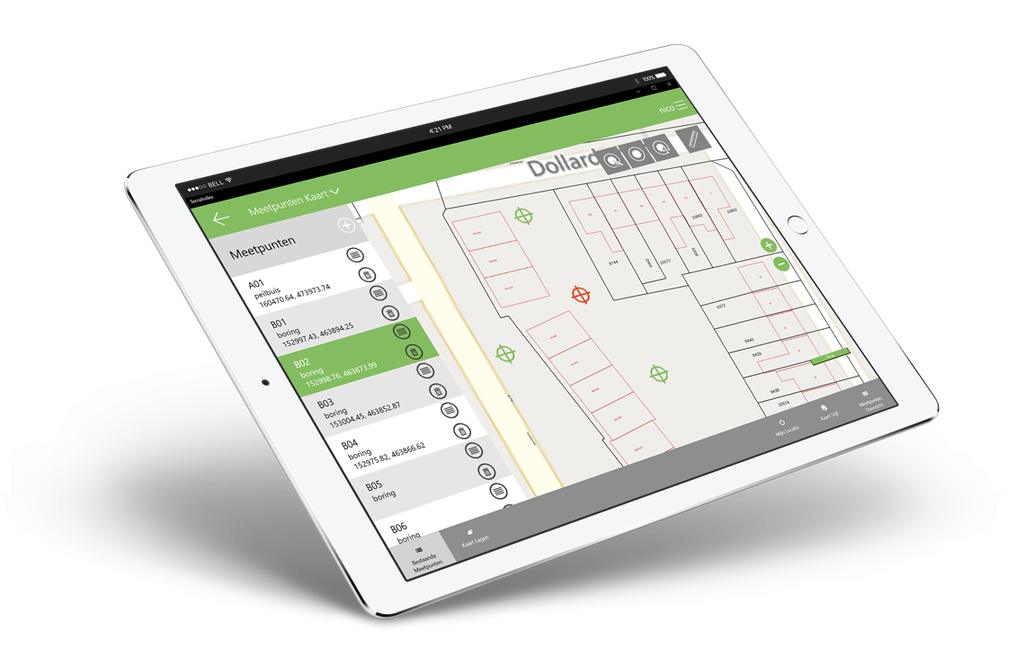
Find the right drilling locations with GPS and GIS
The exact coordinates of the drilling sites can be mapped with up to 10 meters accuracy using (the right) GPS and GIS. The required samples can be taken immediately, without causing unnecessary risks during drilling.
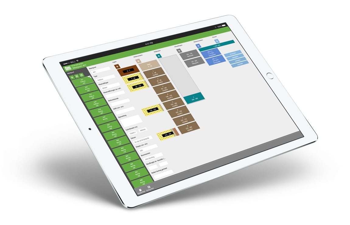
Use templates for unambiguous input
TerraIndex offers standardised input templates that help fieldworkers enter the right data in a clear way. This prevents incomplete data and ambiguities, which results in more efficiency and fewer risks.
Enter various data digitally directly in the App
The intuitive and user-friendly App makes entering data even easier and efficient. The barcodes on the samples can be easily scanned and linked to the coordinates and data.
Communicate directly with the lab through the App
All major laboratories in Europe work with TerraIndex. The App allows you to quickly switch over to the laboratory, data is sent with the press of a button within the secure TerraIndex environment.
Create and manage lab assignments digitally
In TerraIndex, lab assignments can be easily created and managed. The lab can directly enter and display the progress of the analyses, as well as the survey results.
Test the results against standards and requirements
Lab results can be compared directly with local standards and standards in TerraIndex, as well as with proprietary standards. In this way, conclusions can be drawn quickly, followed by clear advice.
Use templates for clear formatting
In TerraIndex, various customisable templates are available to make reports clear, including charts, tables, symbols and other graphic elements. This way, a report can be quickly generated and presented.
A dedicated partner
from advice to implementation
Get personalised advice
Discover TerraIndex during a live demo
Implementation support
Support and service
Expert and market leader
in soil survey automation


